Custom development
Our experts develop a tailor-made solution that meets your requirements.
Our multidisciplinary team is there to provide you with the best services.
Our experts develop a tailor-made solution that meets your requirements.
The proposed solutions are designed and developed with the participation of the client.
Although the technologies used are modern, the solutions are geared towards non-experts.
Our projects always include a strong training and support component for the client to master the solution.
Some news about our activities
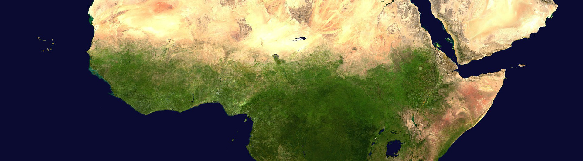
The Government of Canada signed the Ramsar Convention in 1981. As part of this convention, the Government of Canada has selected 37 wetland sites across the territory. Canada has the second largest site in the world, the Queen Maud Gulf in Nunavut. The Ramsar Convention emphasizes that countries must provide documents at each site, including maps showing wetlands.
In this context, the Canadian Wildlife Service (CWS) wanted to produce standard documents for the 37 sites. The documents must comply with the rules of the convention.
The company Geoimage Solutions was chosen to produce the various maps and to standardize the information on the 37 sites. The work was done according to 4 main stages:
The products were delivered at the start of 2020.
For the past few months, Géoimage Solutions has been part of the consortium that is developing the new information system (NSI) of the CNPS in Côte d'Ivoire.
The aim of the project is to update the existing system and incorporate the new regulations, in particular those affecting the self-employed.
The consortium is made up of three companies : Caciopée from Morocco, Barnoin from Côte d'Ivoire and Géoimage Solutions from Canada. The developments will ensure that the institution will have the possibility of managing more than 8 million members, the procedures will be simplified for citizens and businesses. Tracking files will be easier for the institution. The NSI will allow monitoring of the quality of services and the establishment of indicators to guarantee that services are rendered according to the regulations.